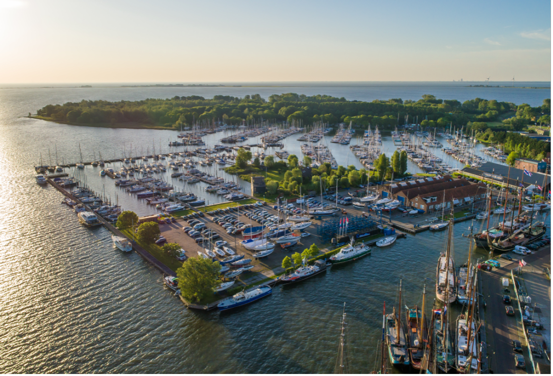
- harbour and service
- 850+ berths
- staying

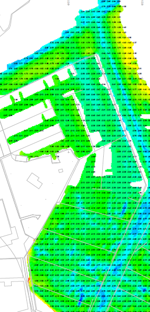
Depth


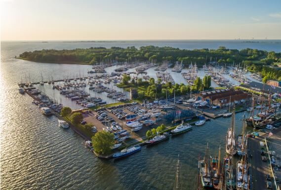
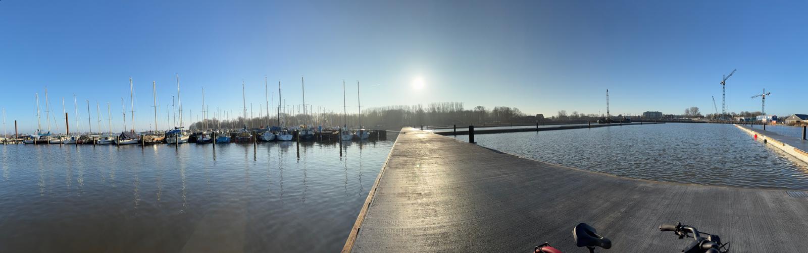
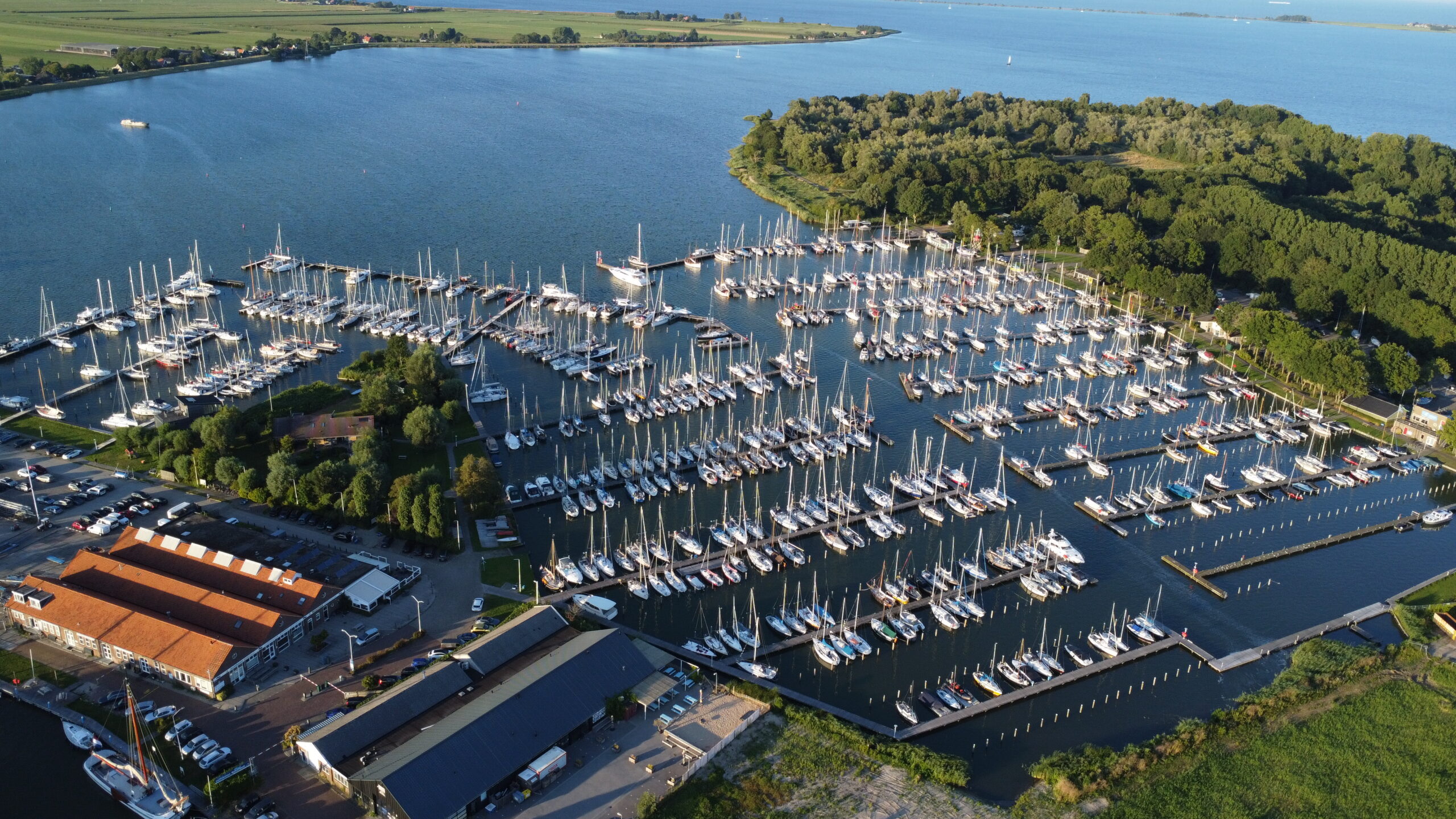
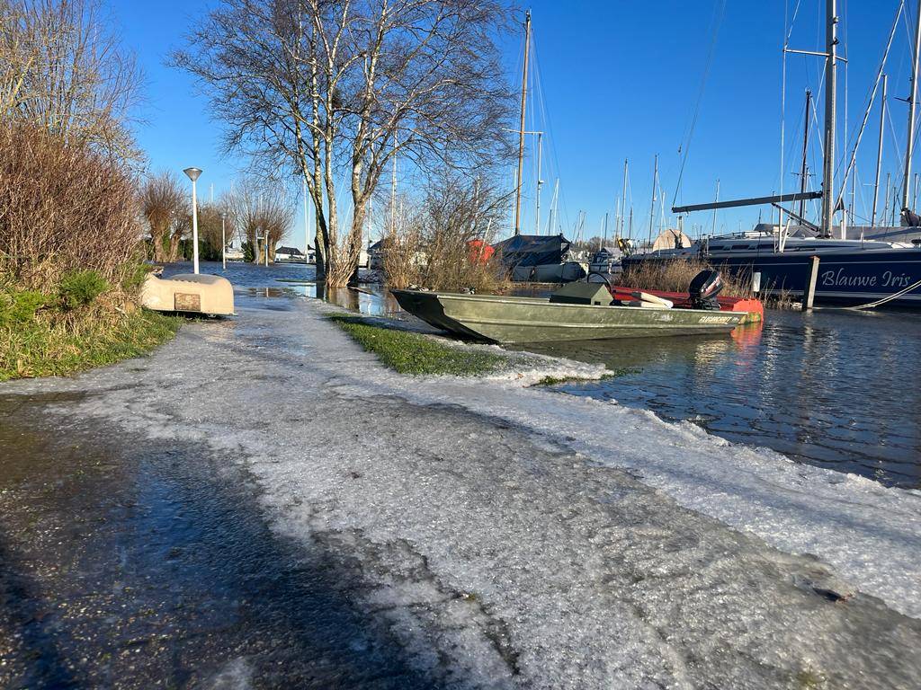
19 March 2026 ~ With the change to the harbour, the navigation routes and berths within the harbour have changed. We had the harbour surveyed in 2022 and in 2026 and observed no major changes in depth there. A temporary sheet pile wall was installed on the south side of the harbour. It was shallower here until the dredging in February. The navigation channel there is now back to its normal depth. However, due to the many work vessels and tugboats with strong propeller action, some silt will have been displaced here and there, so some spots may be shallower than others. Over time and with a lot of boat traffic, this will become more uniform. The bottom here is like a kind of custard (because it is peat), so we could clearly see on those survey charts where there was a lot of boating (and where ships were moored).
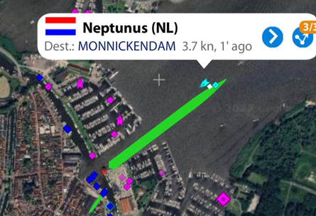
The new passage in the J-pier is quite wide, and in the middle, we measured a water depth of 2m at a fairly low water level. Slightly further towards Marken, it is somewhat shallower. It is advisable to stay in the middle of the channel; we will place a small buoy for identification. Do you have a draft of more than 2 meters? Take the ‘old’ entrance between the J and the 11 (Waterland A).
Over the coming month, we expect Rijkswaterstaat to raise the water level to summer level again – it is still low.
Should you experience any problems in the harbour, please let us know. Do you discover any bumps in the channel to Marken? Please report these to Rijkswaterstaat (preferably with the coordinates).